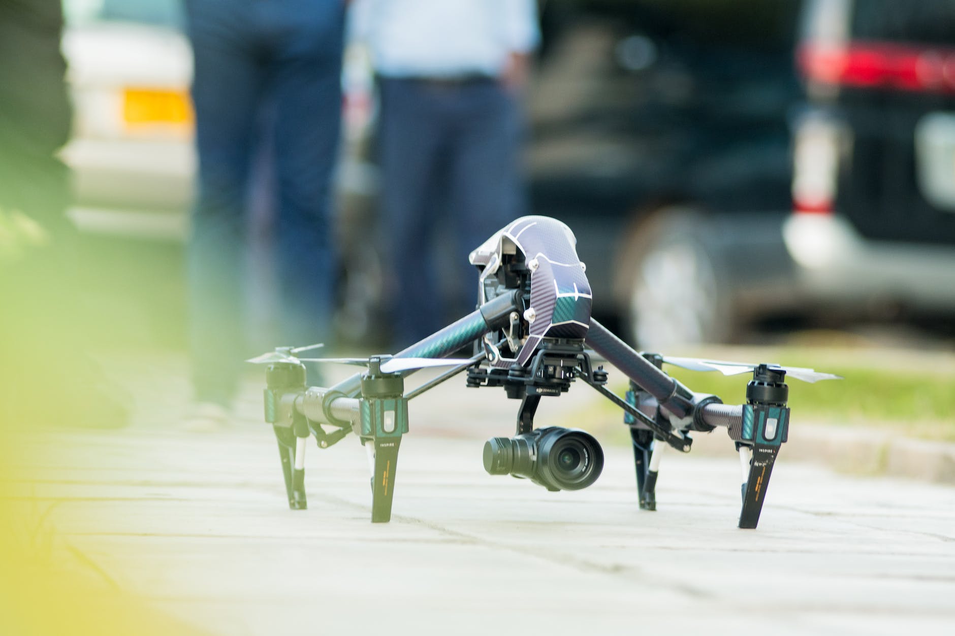
This evening while watching the news, there was news coverage about the recent Mauna Loa volcano eruption in Hawaii, showing how close the lava flow was getting to major highways (AP, 2022). What captivated my attention were the amazing shots of the lava flow. The first question that came to mind was: "How did they get to capture such nice footage of the hot lava eruption flow?"
Yes, in the past, my answer would have been either an airplane or helicopter equipped with a high-resolution camera. But nowadays, there is another possible solution: a drone shot.
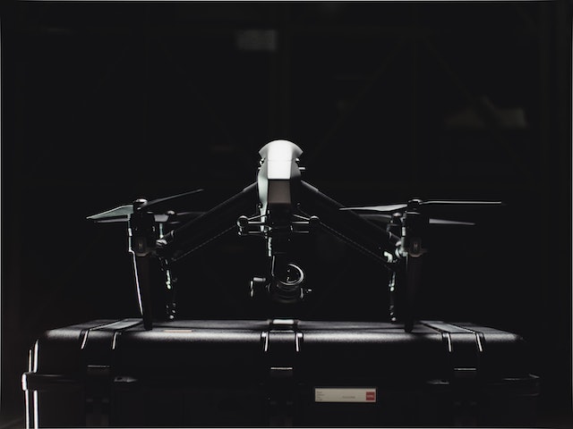
Yes, drones (a popular name for UAS) are being used for many applications, including volcanic surveying and volcanology (Valavanis & Vachtsevanos, 2014) due to their quick launch flexibility and affordability when compared to airplanes and helicopters.
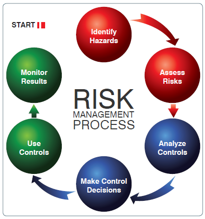
With UAS implementation and its fast expanding market growth also come the risk and hazards associated with its operation in the national airspace.
Typical risks and hazards associated with UAS operations can be categorized as follow:
- Controlled Flight into Terrain (CFIT)
- Loss of control in-flight (LOC-I)
- Mid Air collision (MAC)
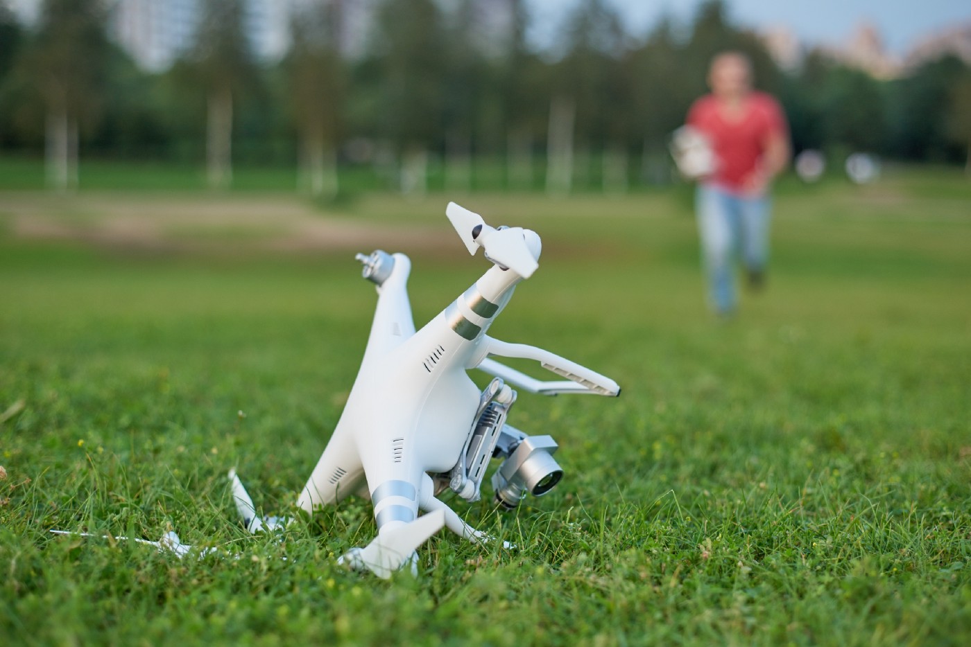
CFIT is defined as "an unintentional collision with terrain (the ground, a mountain, a body of water, or an obstacle) while an aircraft is under positive control." (FAA, n.d.). CFIT happens when the pilot is faced with unexpected terrain with little to no time for correction. CIFT commonly happens during the approach or landing phase of the flight. For UAS, CFIT can result in loss of equipment or catastrophe because the pilot is not onboard and has limited situational awareness compared to manned aircraft.
LOC-I refers to accidents in which the flight crew inability to maintain control of the aircraft in flight, resulting in an unrecoverable deviation from the intended flight path (IATA, n.d.). Interferences such as engine failures, icing, or stalls are the most common cause of LOC-I. For UAS, loss of command and control (C2) link is the main hazard associated with LOC-I.
MAC refers to an accident where two aircraft come into contact with each other while both are in flight (Skybrary, n.d.).
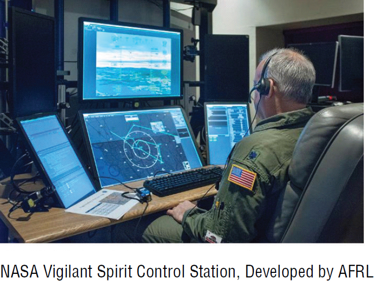
Most UAS can operate without direct visual sight of the unmanned aircraft. This type of UAS flight operation is called the Beyond Visual Line of Sight (BVLOS). The remote pilot is typically located in a ground control station (GCS), remotely piloting the unmanned aircraft (UA) via satellite communication. The major risk associated with BVLOS operations is the Lost Link (LL), where the remote pilot loses communication and control of the unmanned aircraft from the control station. A typical mitigation for BVLOS risk is to have a programmed "return to waypoint" or "return to home" feature where the UA can navigate itself to preprogrammed waypoints in route or return to its starting/launch position.
References:
Associated Press (AP). (2022, November 30). Thousands flock to Mauna Loa for selfies during dramatic eruption. https://www.theguardian.com/us-news/2022/nov/30/mauna-loa-hawaii-eruption-selfies
Federal Aviation Administration. (n.d.). Controlled Flight Into Terrain. https://www.faa.gov/news/safety_briefing/2018/media/SE_Topic_18-11.pdf
International Air Transport Association (IATA).(n.d.). Loss of Control In-flight (LOC-I). https://www.iata.org/en/programs/safety/operational-safety/loss-of-control-inflight/
Skybrary. (n.d.). Mid-Air Collision. https://www.skybrary.aero/articles/mid-air-collision
Valavanis, K & Vachtsevanos, G. (2014). Handbook of Unmanned Aerial Vehicles; Springer Netherlands: Dordrecht, The Netherlands, 2014.
